
AutoHotkey | Android | Arduino | COMM140 | Fractals | Grammar Checkers | Knots | A Million Dots Activity | Processing | Processing for Scratch Users | Redbubble | Tutorials | Weather | World Time Meeting Planner | Favicon Generator.
Home > Maps
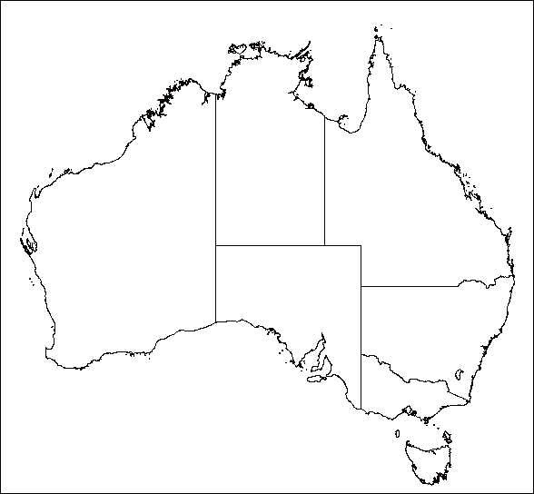
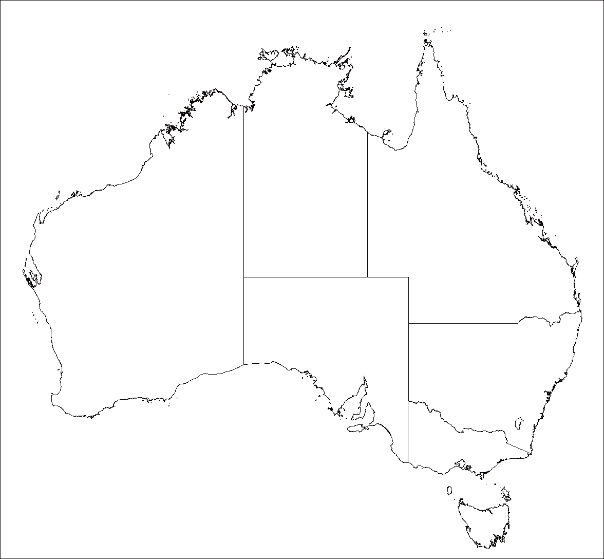
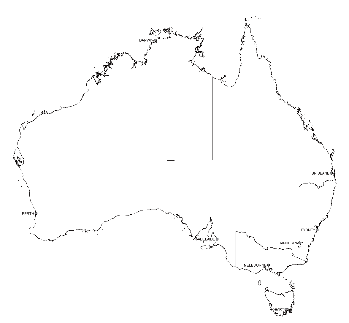
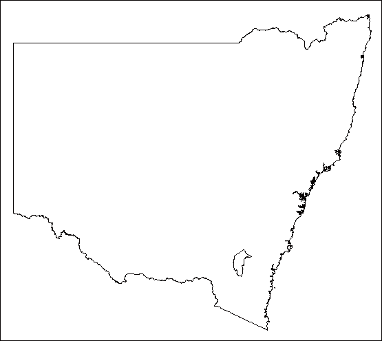
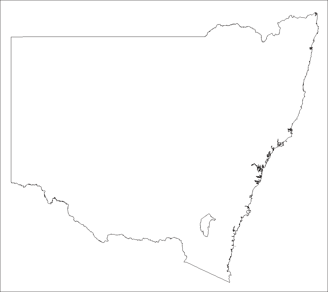
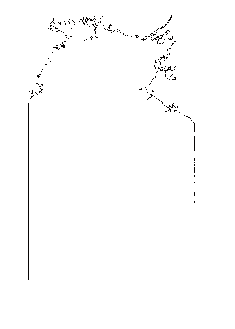
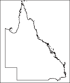
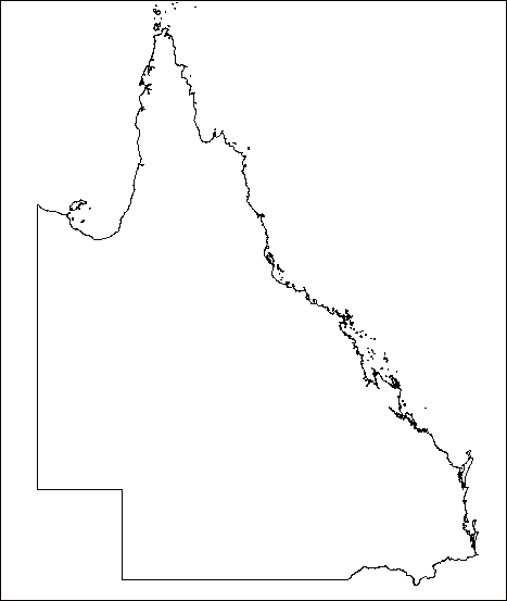
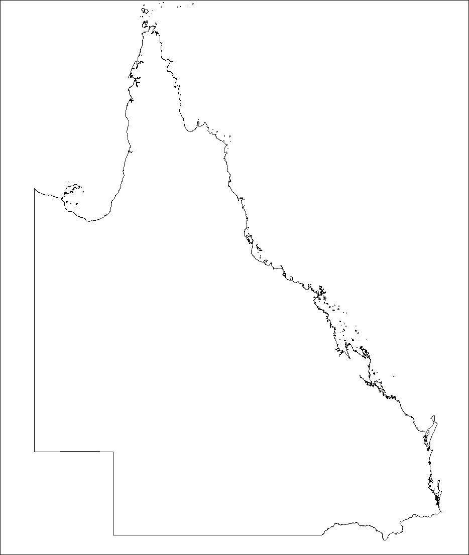
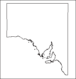
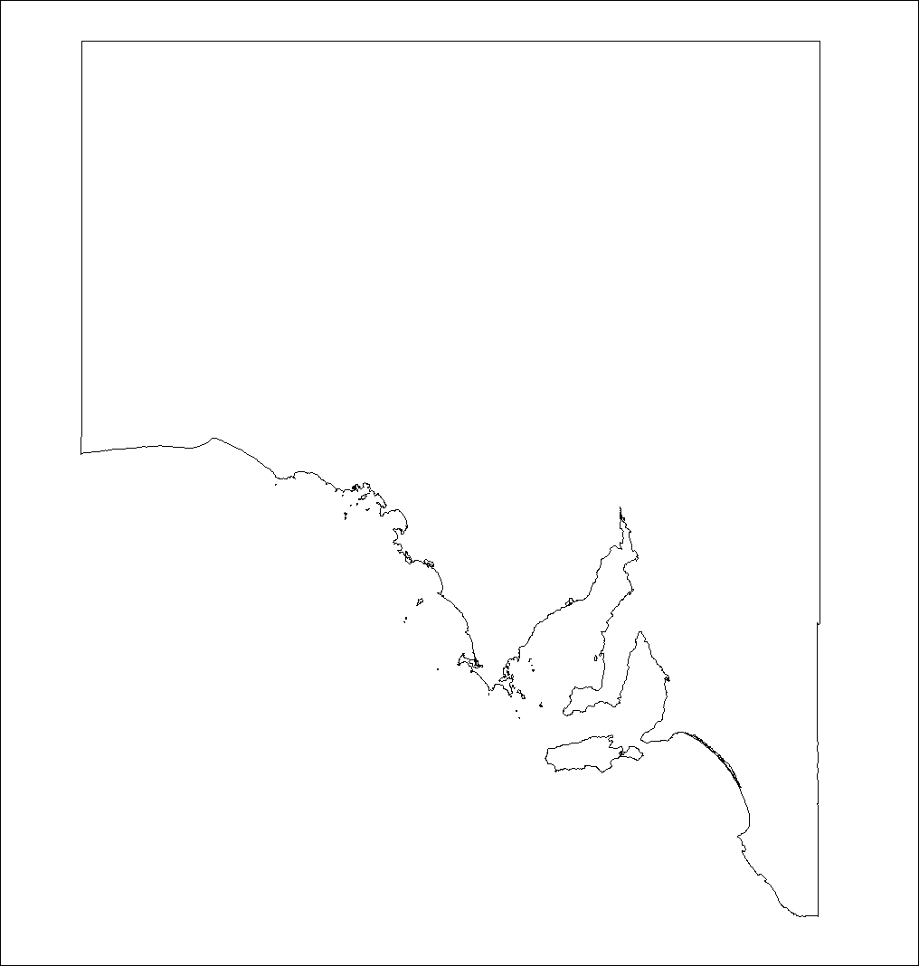
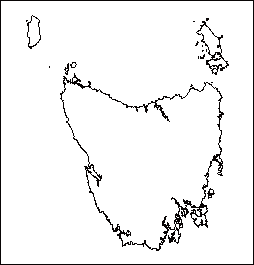
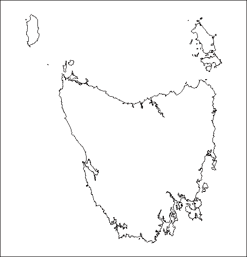
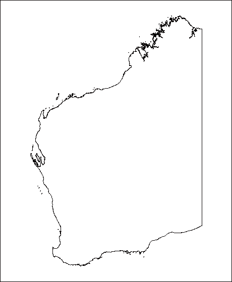
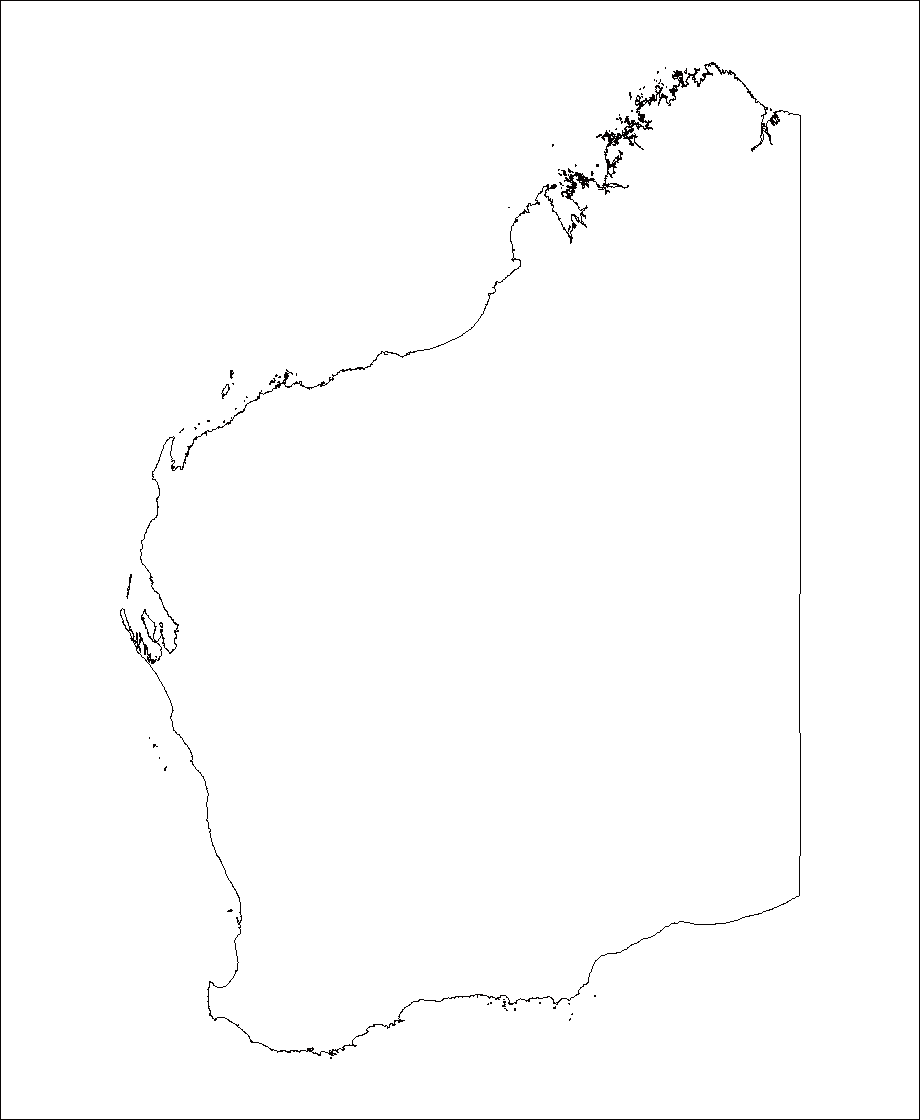
Welcome to our SVG map directory! Use the list below to select a map you need. All maps come in two level of details: High and Low.
All maps are available for free for non-commercial use under Creative Commons Attribution-NonCommercial 4.0 International License. For commercial use please consider acquiring an amCharts license.
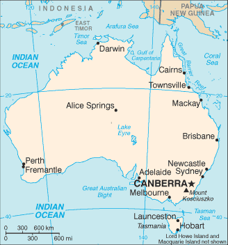
https://www.amcharts.com/svg-maps/?map=australia
Links checked using the xenulink August 19, 2007 Links checked using the WC3 Link Checker |

Worldmapper is a collection of world maps, where territories are re-sized on each map according to the subject of interest.
There are now nearly 700 maps. Maps 1-366 are also available as PDF posters.
http://www.worldmapper.org/
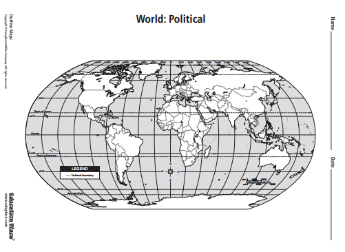
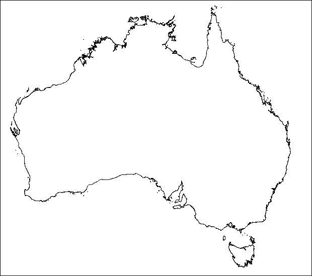
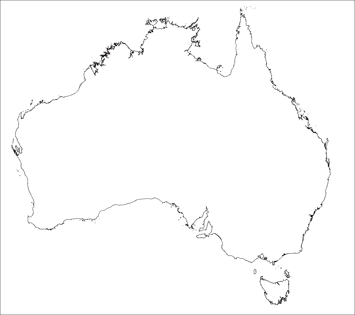
Outline maps
These maps may be printed and copied for personal or classroom use
http://www.eduplace.com/ss/maps/
link added August 19, 2007
Google
Maps Australia
link added May 6, 2007
Driving directions and street maps are vaiable for Victoria from the RACV and Whereis.com. Maps are also available from street-directory.com.au
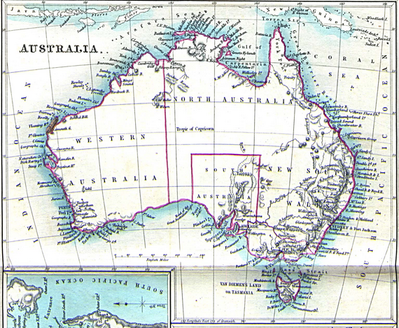
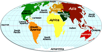
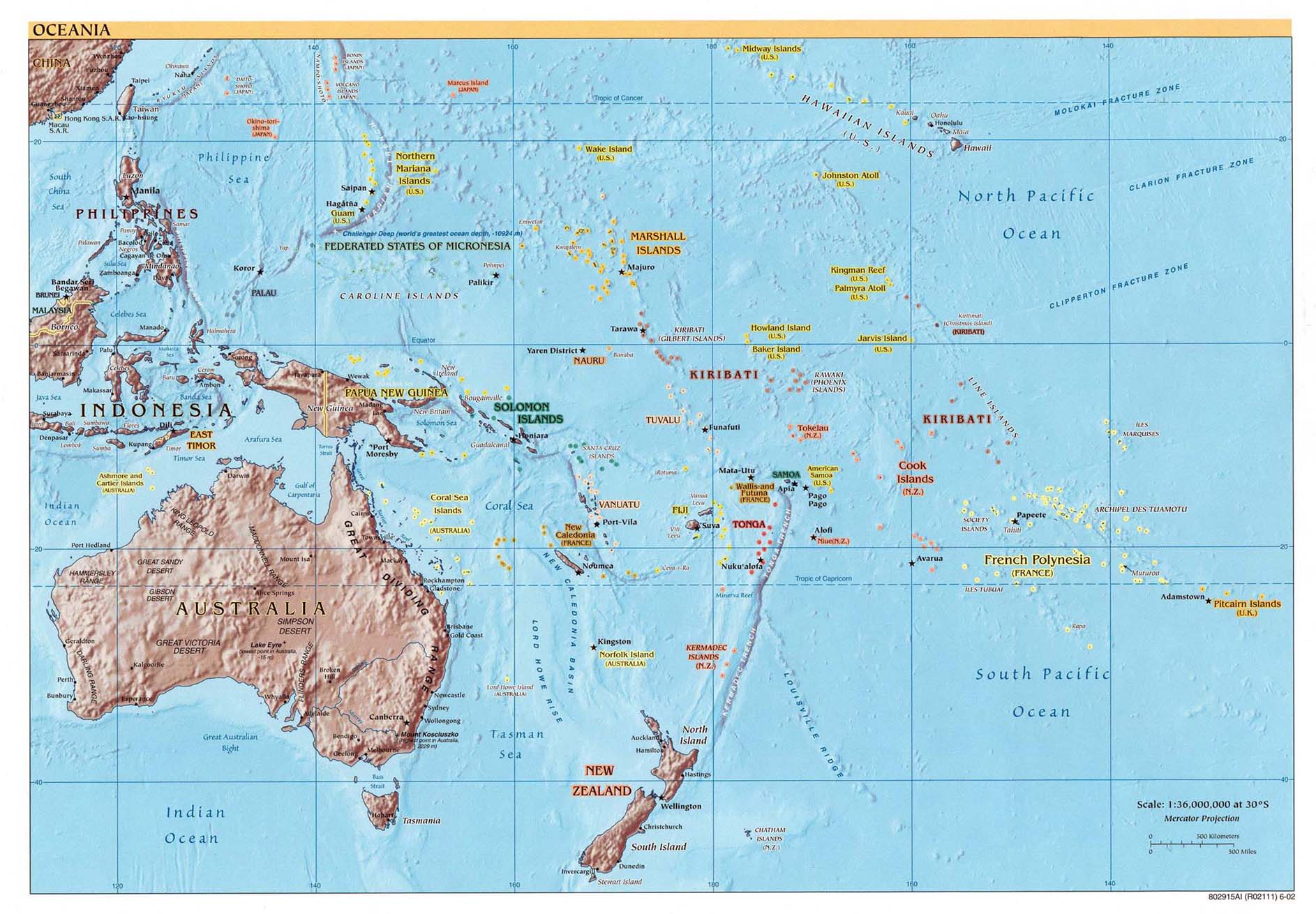
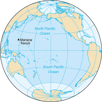
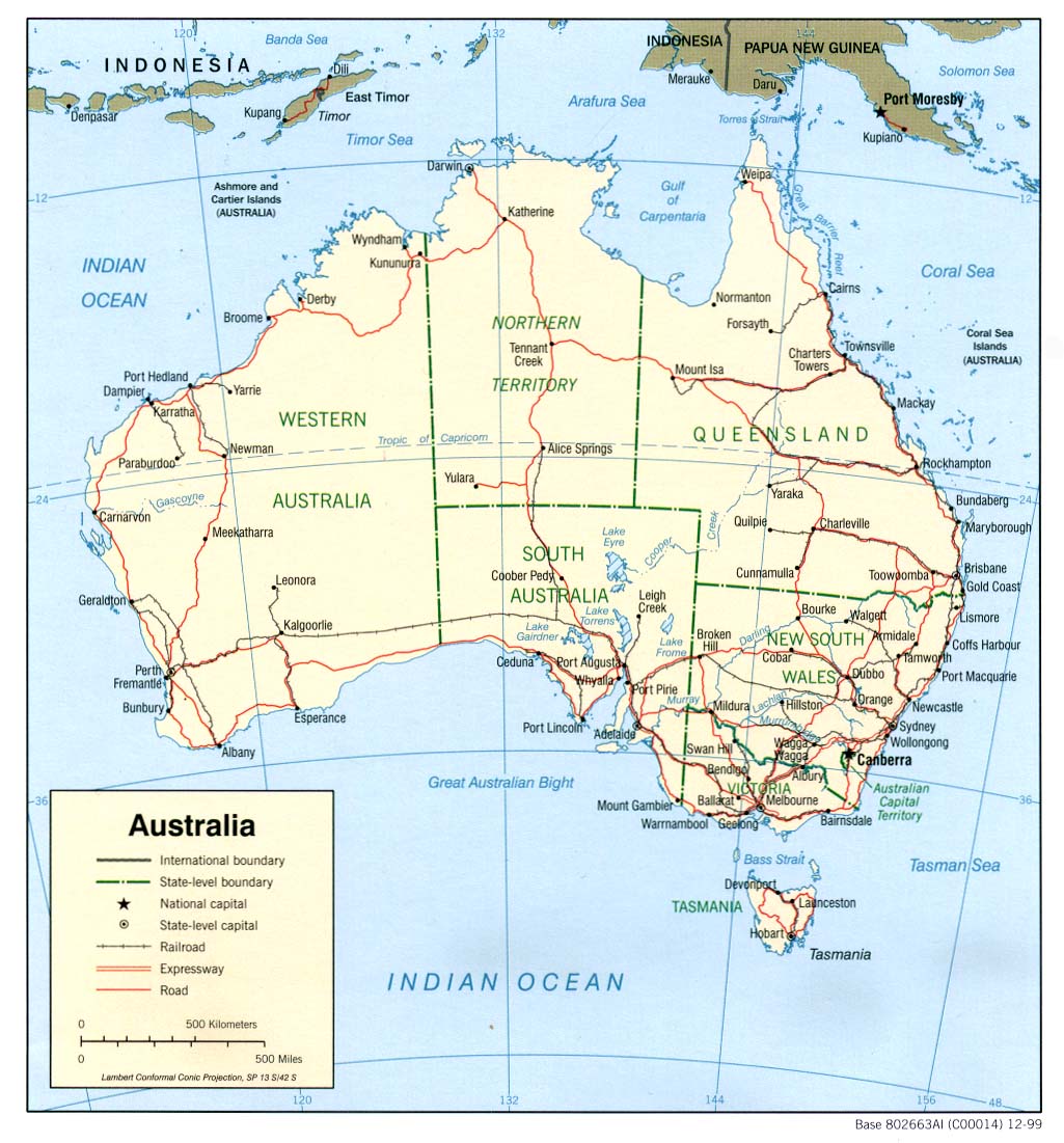
Maps of Australia and the Pacific
Australian Public Toilet Map Site link added May 12, 2006
The following maps were produced by the U.S. Central Intelligence Agency, unless otherwise indicated.
# Oceania (Reference Map) 2002 (321K) and pdf format (322K)
# Pacific Ocean (Small Map) 2004 (14K)Australia and the Pacific Historical Maps
http://www.lib.utexas.edu/maps/australia/
# Australia (Political) 1999 (195K)
# Australia (Political) 1977 (156K)
# Australia (Shaded Relief) 1999 (188K)
# Australia (Small Map) 2004 (12K)
 link added August 15, 2013
http://www.abc.net.au/indigenous/map/
http://www.abc.net.au/indigenous/map/images/indigi_map.png
This map indicates only the general location of larger groupings of people which may include smaller groups such as clans, dialects or individual languages in a group. Boundaries are not intended to be exact.
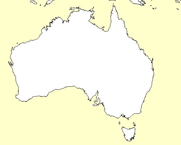
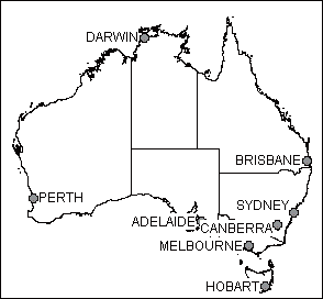
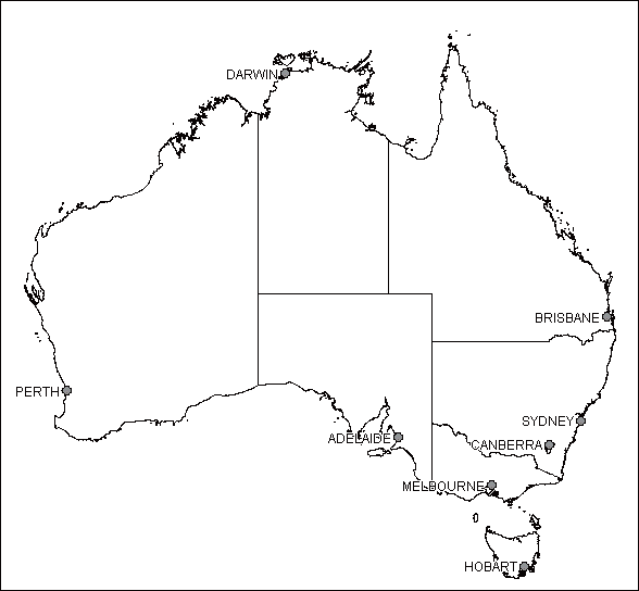
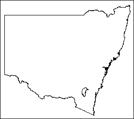
Blank Outline Map of Australia
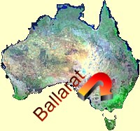
Ballarat - VIC Town & Area Map (400k)
PDF File
from http://www.wilmap.com.au/vicmaps/ballarat/
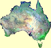 Landsat
7 Picture
Mosaic of Australia
Landsat
7 Picture
Mosaic of Australia
http://www.ga.gov.au/acres/prod_ser/ls7_picmosaic.jsp
Fully indexed street map of Ballarat
Historical
Maps of Australia and the Pacific
http://www.lib.utexas.edu/maps/historical/history_austral_pacific.html
Map of The Goldfields
Area (128k)
This map has links fully indexed town maps including,
Ballarat, Buninyong, Creswick, Clunes, Daylesford &
Hepburn Springs, and
others.
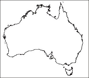
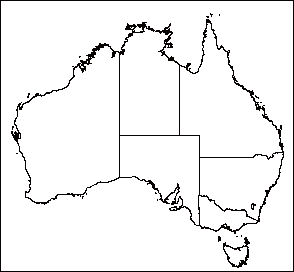
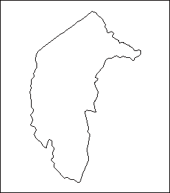
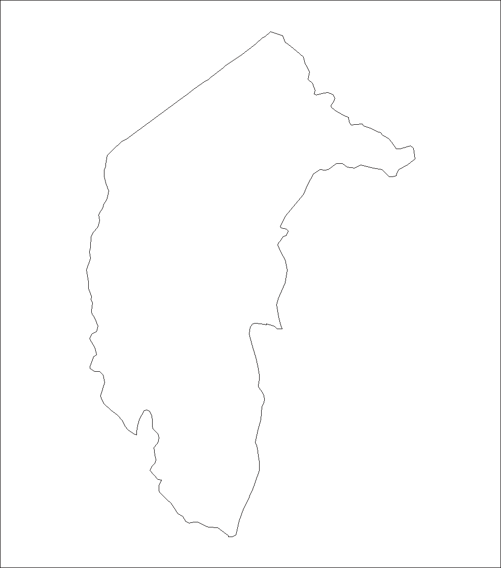
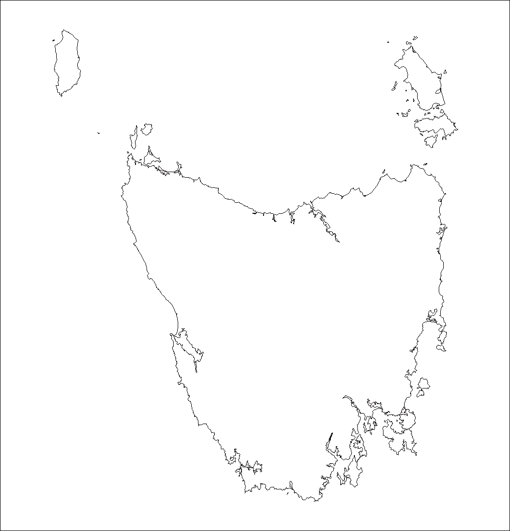
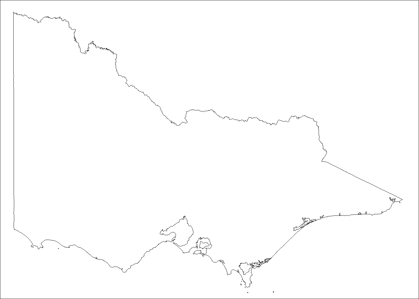
University of Melbourne Map Collection - Outline
Maps
http://www.lib.unimelb.edu.au/collections/maps/digital/outline-maps
These outline maps are provided so that you may download them and use them
as a base for showing
your own information. Copyright and additional information.
Copyright. These outline maps are copyright University of Melbourne
2001. You may freely reproduce
these maps for personal, research and educational use. No other uses are permitted
without written
permission from the University of Melbourne.
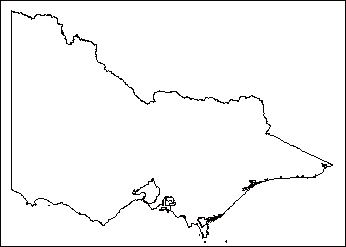
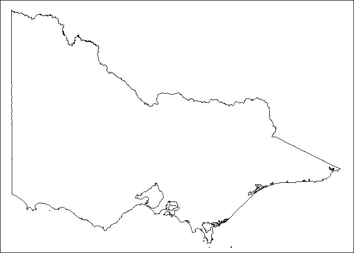
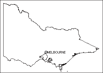
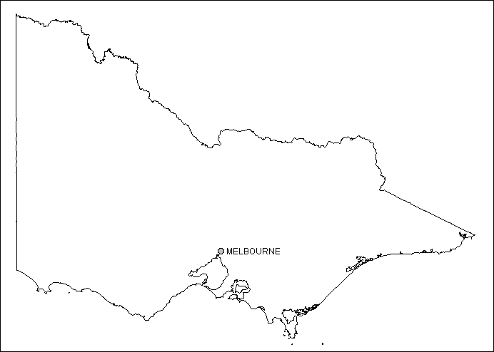
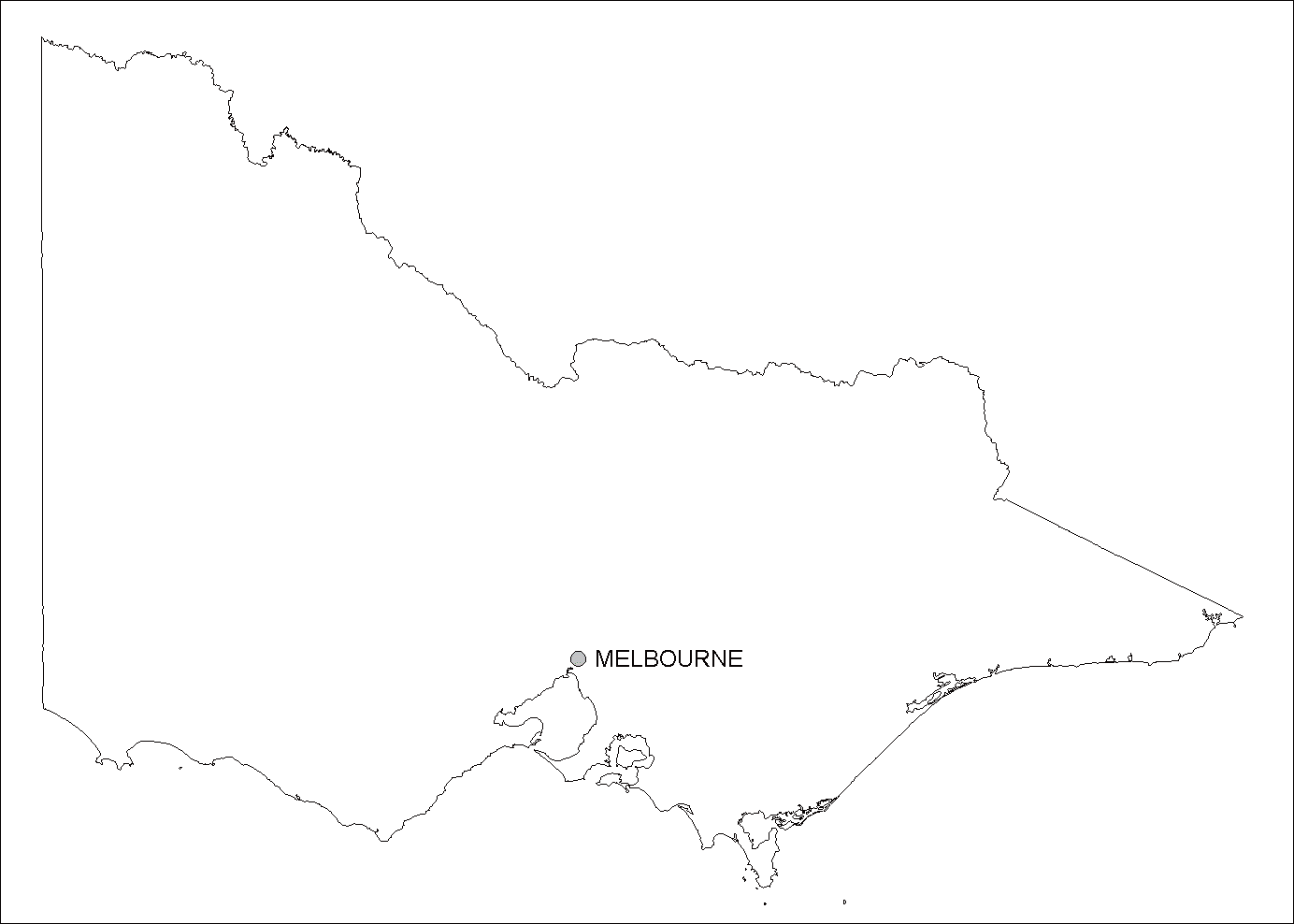
 Extract from Victoria
outline large
Extract from Victoria
outline large
Copyright. These outline maps are copyright University of
Melbourne 2001. You may freely reproduce
these maps for personal, research and educational use. No other uses are permitted
without written
permission from the University of Melbourne.
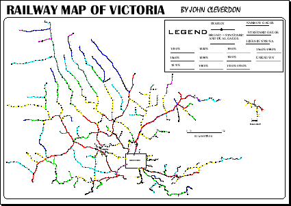
Historical Railway Map of Victoria
This is a clickable map; click on the relevant section to view the detailed map. The only way to move between the detailed maps is to come back to this page. There are scales and legends on each of the 8 individual maps.
I have not included the Melbourne and Ballarat areas; this is because they are too detailed for a map of this scale.
I also have available a copy of the map in Adobe PDF format. 200 kB (it is a zip file, so you will need WinZip or a similar program to unzip it). This PDF file is around 1.4 MB in size unzipped.

Available Interactive Maps
Timeline:
Australia
A chronology of key events:
Last refreshed: February 24 2026. 09:00.01 am


 This work is licensed under a Creative Commons Attribution-NonCommercial-ShareAlike 2.5 License.
